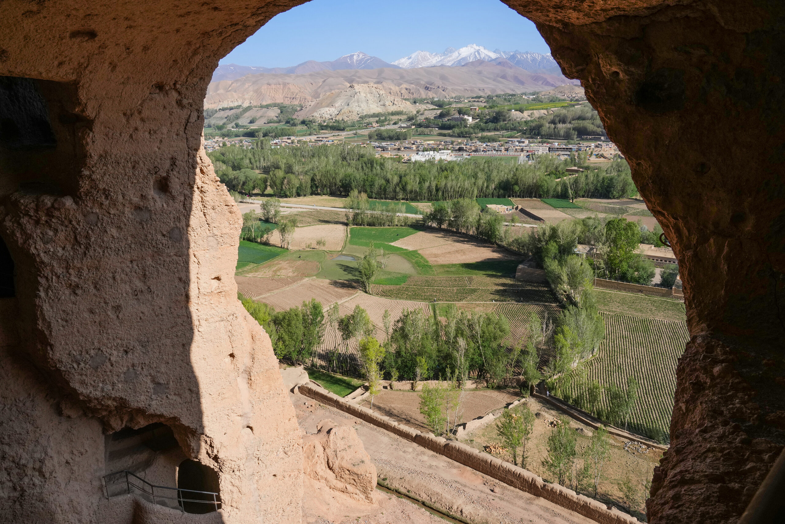
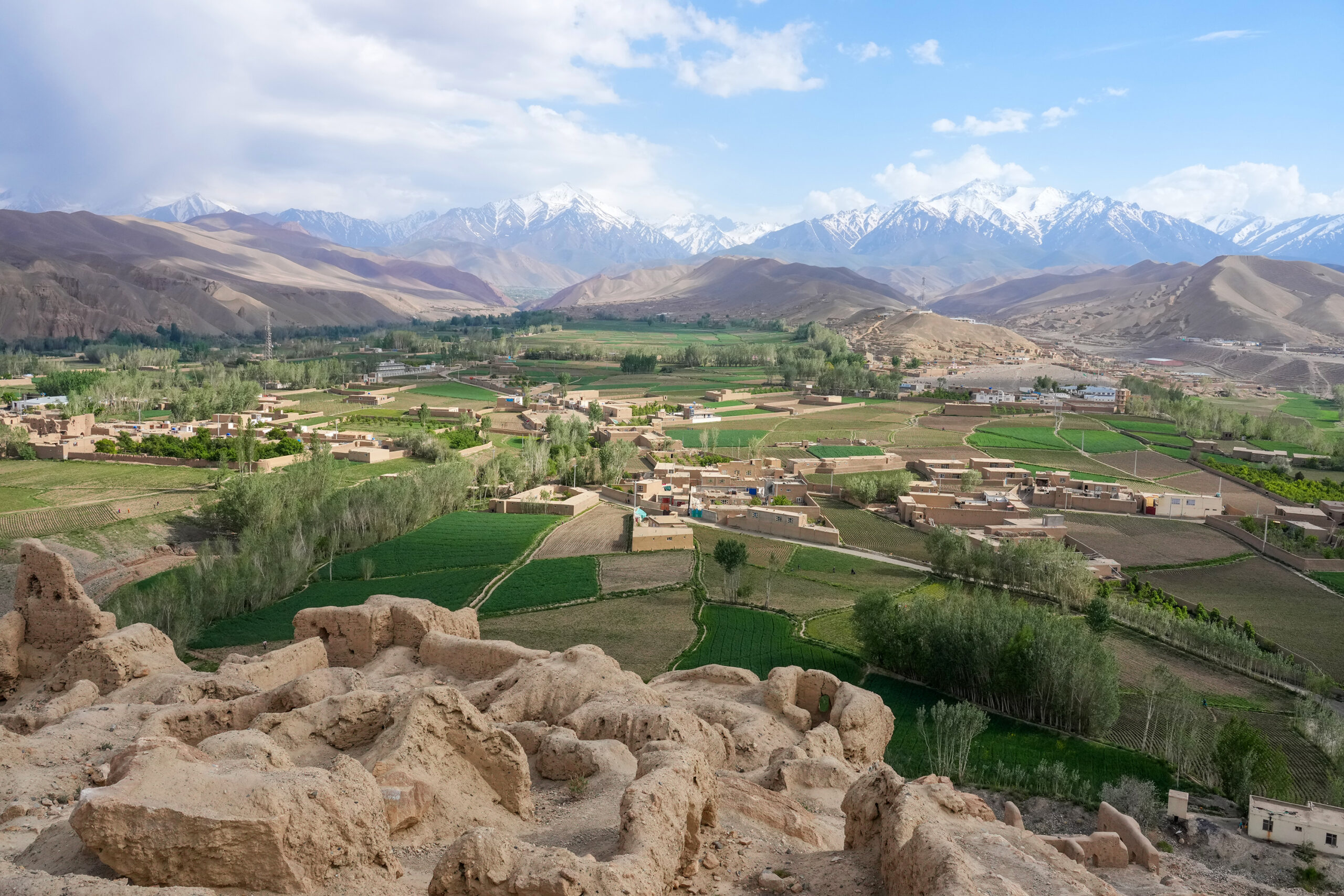
Hotel Silk Road Bamiyan is located quiet place on the road to Foladi Valley, 100m away from the main circle of Bamiyan city. 1 minute walk will get you to the main bazaar. 8 minutes walk will take you to the Bamiyan Caves.
Access from Kabul
Via Shibar Pass Route
(Northbound route / Ghorband valley route) 246 Km
The Shibar Pass route takes about 6 to 7 hours from Kabul to Bamiyan. From Kabul, drive north along the Shomali plain to Puli Matak. From Puli Matak, drive west along the Ghorband River and cross the Shibar Pass (approx. 3,000 m), which is the watershed of the Oxus and Indus Rivers. We arrive at Shahr-i-zohak, the entrance to the Bamiyan Valley. From here, it is about a 30-minute drive to the center of Bamiyan.
Via Hajigak Pass Route
(Southbound route) 180Km
This route takes about 5 to 6 hours from Kabul. The route starts from Maidan Shahr, south of Kabul, and crosses Unai Pass (approx. 3,200m) and Hajigak Pass (approx. 3,450m). At Shahr-i-zohak, join the road from the Ghorband valley.
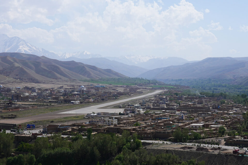
By Air
Currently, there are no scheduled flights to Bamiyan.
From Bamiyan to Northern and Western Afghanistan
To Northern Afghanistan & Mazar-i-sharif
There are two routes from Bamiyan: one is to return to Puli Matak on the Shomali Plain and go through the Salang Tunnel to the north of the Hindukush, and the other is to take the “Trans Hindukush Road”, an off-road route, to Doshi.
To Herat via the Central Rad
From Bamiyan, you can go west to Herat. After Yakawlang, the road becomes unpaved, and the adventure begins. On the way, you will pass the Minaret of Jam, a World Heritage Site.
We also arrange tours throughout Afghanistan. Please contact us for more information.